Drone Volumetric Analysis
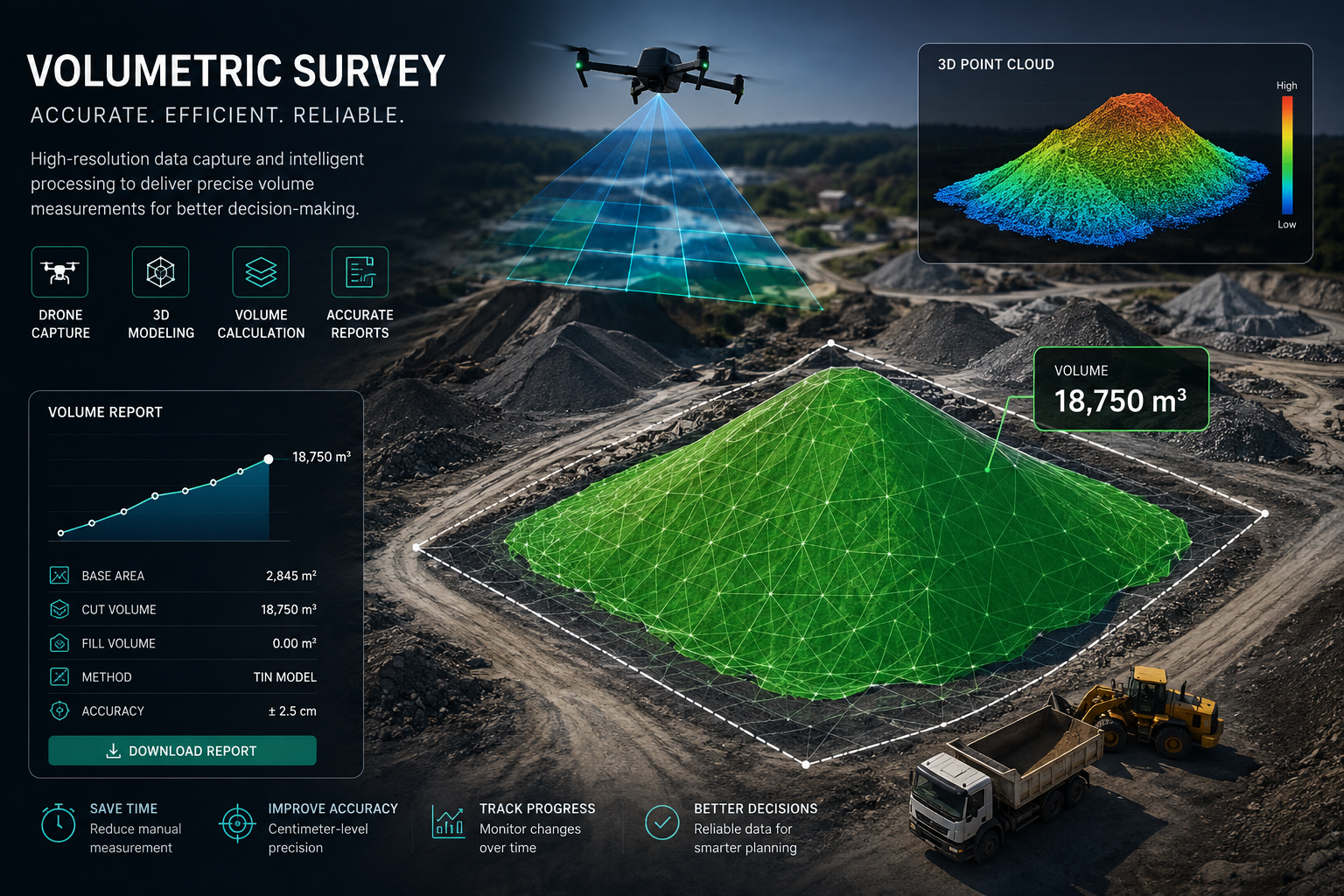
Accurate stockpile volume measurement is essential for mining, quarrying, construction, and material management. Using high-resolution drone imagery and advanced photogrammetry, we generate detailed 3D surface models that enable fast, safe, and highly accurate volumetric calculations without the need for manual field measurements.
Our workflow delivers precise cut-and-fill analysis, stockpile volumes, base area measurements, and comprehensive reports that support inventory management, production planning, progress monitoring, and operational decision-making. With centimeter-level accuracy and rapid turnaround times, drone-based volumetric surveys significantly reduce costs, improve safety, and provide reliable data for every stage of your project.