2D & 3D Mapping
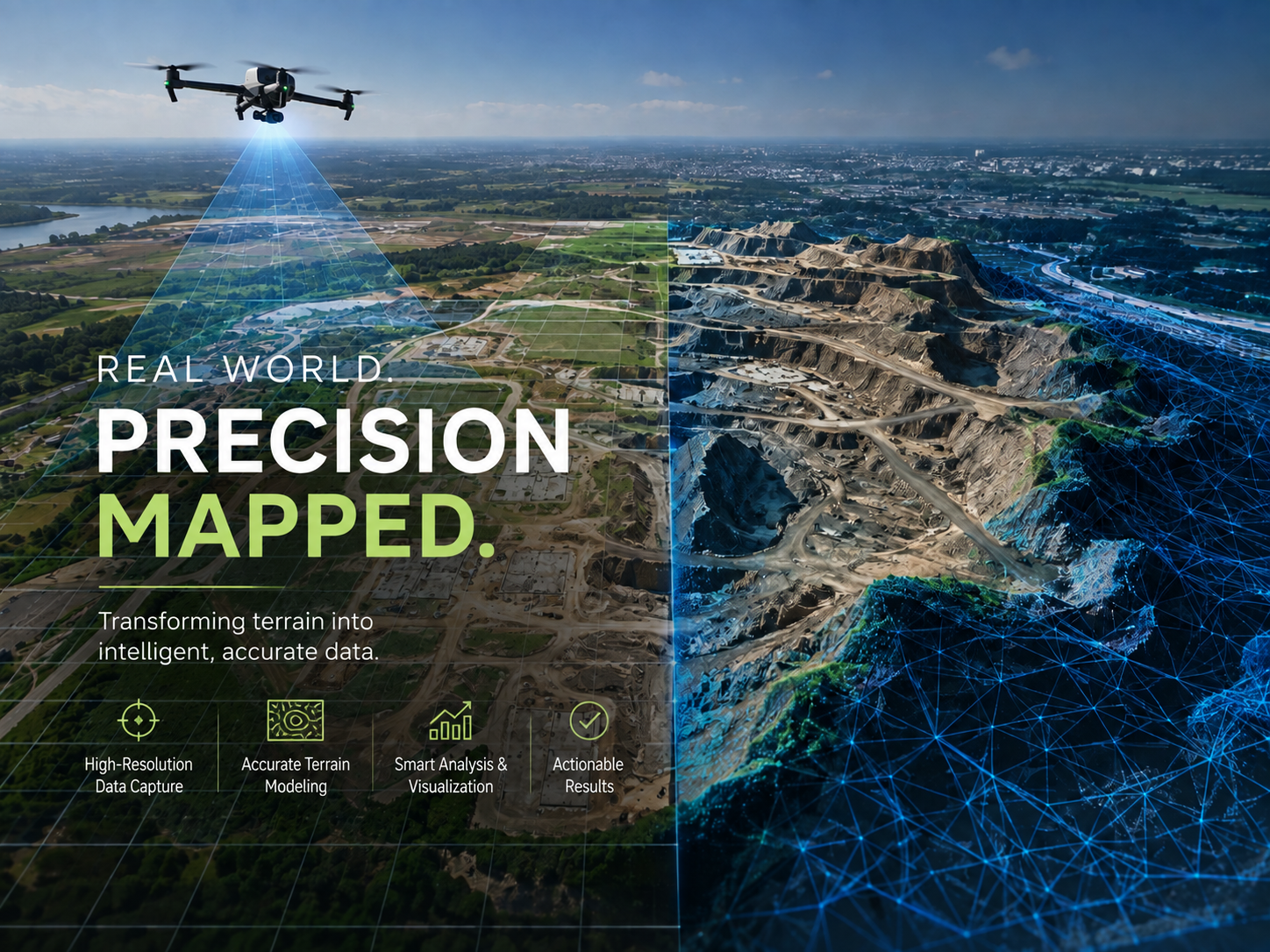
Capture every detail of your project with survey-grade drone mapping. Using advanced photogrammetry, we produce georeferenced orthomosaic maps, digital surface models, point clouds, and photorealistic 3D mesh models that accurately represent real-world conditions.
These deliverables provide engineers, architects, surveyors, and project managers with reliable spatial data for site planning, infrastructure design, progress monitoring, asset documentation, and visualization. Our mapping workflow delivers centimeter-level accuracy, rapid turnaround, and high-resolution outputs that integrate seamlessly with CAD, BIM, and GIS software, enabling faster decisions and more efficient project execution.